Regional Telemetry
Seasonal Fire Trend
Historical Average vs. Current Year Detections
Media Narrative (GDELT)
Live theme extraction from regional news coverage
Click any keyword to open the most recent source article.
PROJECT MISSION
Ecological Preservation // ESR-1 Zone
Why We Are Conducting This Study
Every year, from February to May, large scale fires are set on the hillsides of Akole Taluka, particularly in the areas surrounding villages like Palsunde. This practice is often rooted in the traditional belief that burning the landscape helps produce better, more nutritious grass for cattle grazing.
This region, however, is part of the northern Western Ghats, a UNESCO World Heritage Site and one of the world's eight most important biodiversity hotspots. The unique and fragile nature of this environment has been recently recognized as an Ecologically Sensitive Region (ESR-1). Therefore, understanding the true impact of these annual fires is not just a local issue; it is a matter of global conservation concern. This conflict between a traditional practice and a critical conservation mandate prompted our scientific investigation. Our goal is to provide clear, data driven evidence to understand the long term effects of these fires on the soil that supports this entire vital ecosystem. While our deep scientific intervention, soil sampling, and grassroots data generation originated in Akole Taluka, the need for ecological observability extends far beyond it. Following requests from community alumni and local conservationists, we have recently expanded our real-time satellite alert system to include the rural talukas of the Palghar district (Vikramgad, Mokhada, and Jawhar). What began as a localized study is evolving into a broader regional intelligence tool.
METHODOLOGY
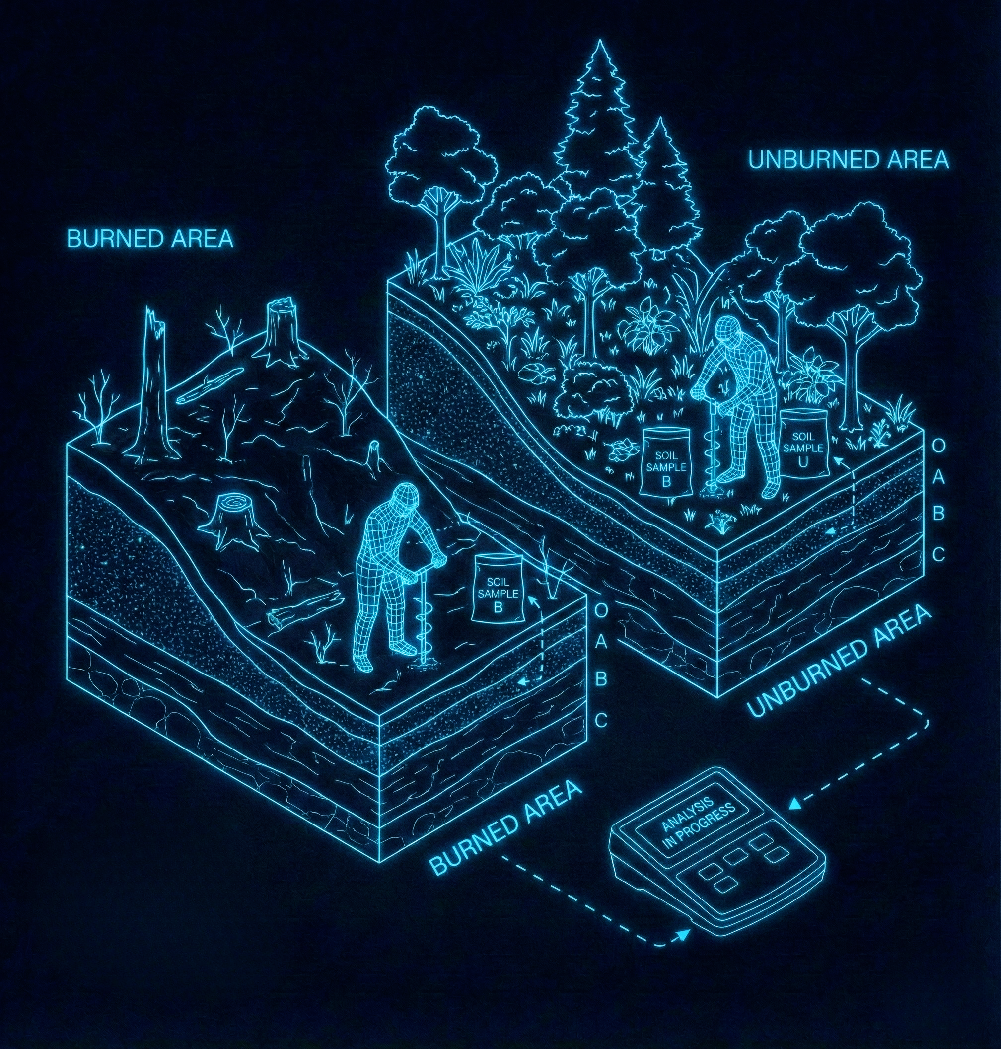
Fieldwork & Advanced Spectroscopy
Comparative Field Sampling
Chemical Property Analysis (pH & PZC)

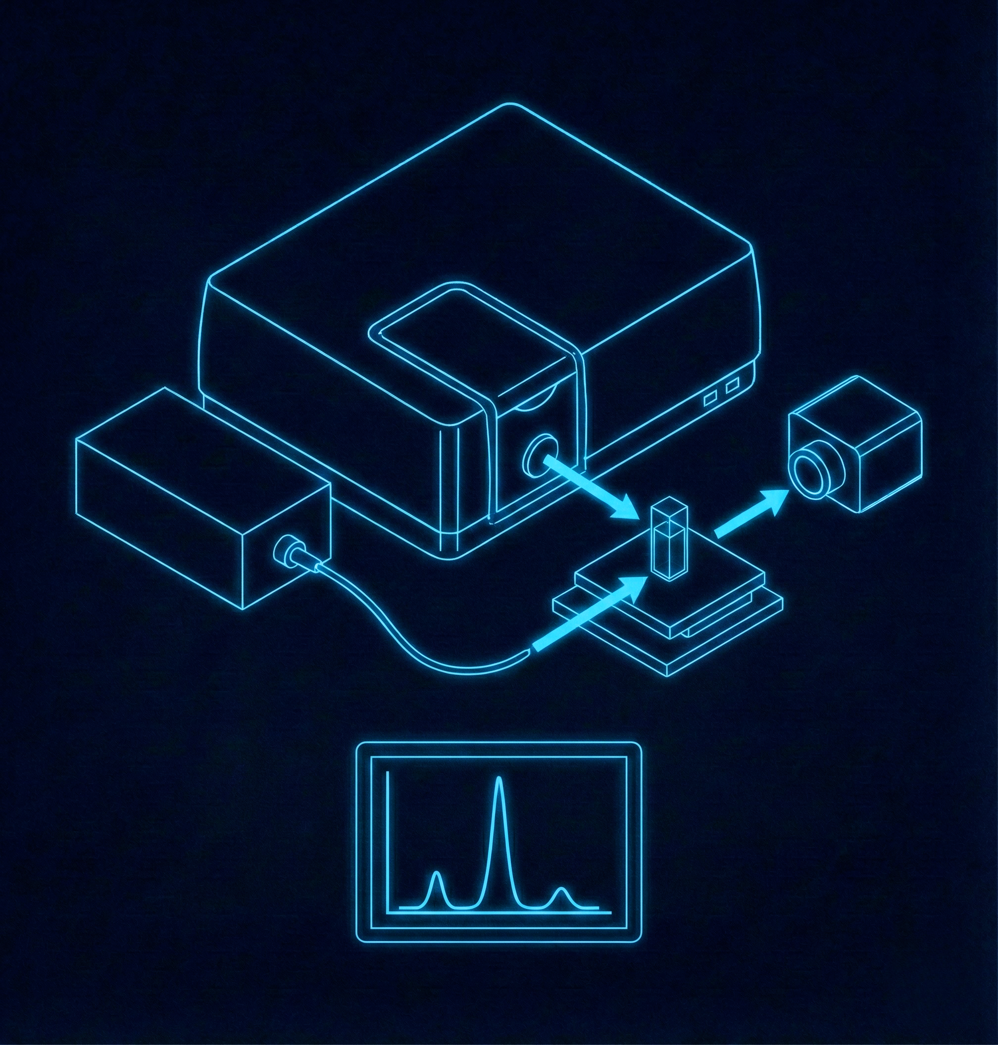
Molecular Fingerprinting (FTIR Spectroscopy)

Carbon Structure Analysis (Raman Spectroscopy)
Mineral Identification (X-Ray Diffraction - XRD)

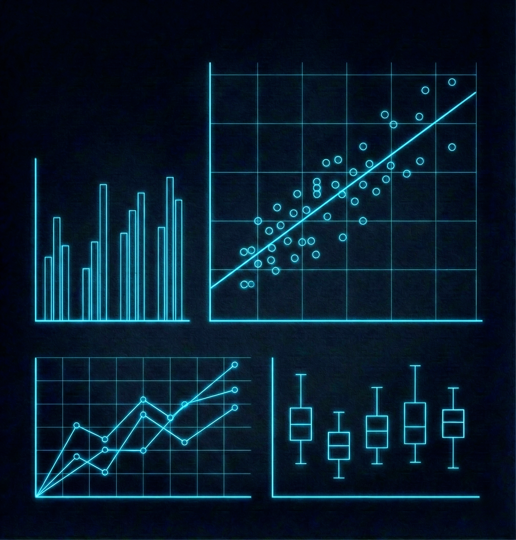
Statistical Verification (Redundancy Analysis)
What We Have Conclusively Established
Irreversible Ecological Damage Confirmed
The 'Good Grass' is a Short-Term Illusion
The fire releases a quick, temporary flush of certain nutrients from the ash, causing a rapid "green-up." However, this masks severe long term degradation. Crucial nutrients like Nitrogen, which is vital for plant protein, are permanently lost to the atmosphere during the fire, likely leading to less nutritious forage over time.
The Soil's 'Lifeblood' is Being Destroyed
The fire burns away the soil's most valuable component: Soil Organic Matter (SOM). Our molecular analysis (FTIR and Raman) confirmed the destruction of fresh, energy rich organic matter and its transformation into inert char. This organic matter is essential for holding water, preventing erosion, and providing a slow release source of nutrients. Its loss is a critical form of soil degradation.
The Ash Creates a Harmful Chemical Imbalance
Our analysis confirmed that ash makes the soil highly alkaline (high pH). This chemical shift "locks up" essential micronutrients like iron and manganese, making them unavailable for plants. This creates nutritional deficiencies in the grass that cattle depend on.
The Soil's Fundamental Structure is Being Altered
Our mineral analysis (XRD) detected the formation of Calcite in the burned soil, which is a direct fingerprint of ash. This finding confirms the cause of the high pH. The data also shows that the fire removes the organic matter "coating" from soil particles, leaving behind a less functional mineral skeleton that is more vulnerable to damage.
Overall Conclusion
The annual cycle of burning is not enriching the soil; it is stripping it of its organic lifeblood and creating a hostile chemical environment. The loss of organic matter, which acts as a natural binder, destroys the soil's structure. Without the protective cover of vegetation, this destabilized topsoil is easily washed away during heavy monsoon rains. This severe soil erosion not only removes the most fertile layer of the hills but, over time, contributes to a loss of land stability and elevation.
This degraded and open landscape creates ideal conditions for the aggressive spread of invasive species like Lantana camara. Fire actively promotes the dominance of this plant, which is highly fire adapted and resprouts rapidly from its roots. It forms dense thickets that choke out native grasses and herbs, destroying biodiversity and reducing the availability of useful forage. Worse, the woody biomass of Lantana acts as potent fuel, leading to a destructive cycle where fire promotes the invasive species, and the invasive species in turn promotes more frequent and intense fires.
Ultimately, this practice degrades the land, reduces the quality of grazing resources it aims to improve, and severely threatens the delicate ecological balance of this globally significant biodiversity hotspot in the Western Ghats.